

The government has outlined a series of long-term measures aimed at reducing flood and landslide risks in Phuentsholing, acknowledging that recurring disasters are being driven by a combination of climate change, unstable terrain and development-related factors.
This was informed to the media by the Minister for Infrastructure and Transport, Chandra Bahadur Gurung, during the 29th Meet The Press on June 3, 2026, who said the government is shifting its focus beyond emergency response and towards long-term planning through improved land-use policies, stronger early warning systems, sediment management and resilient infrastructure.
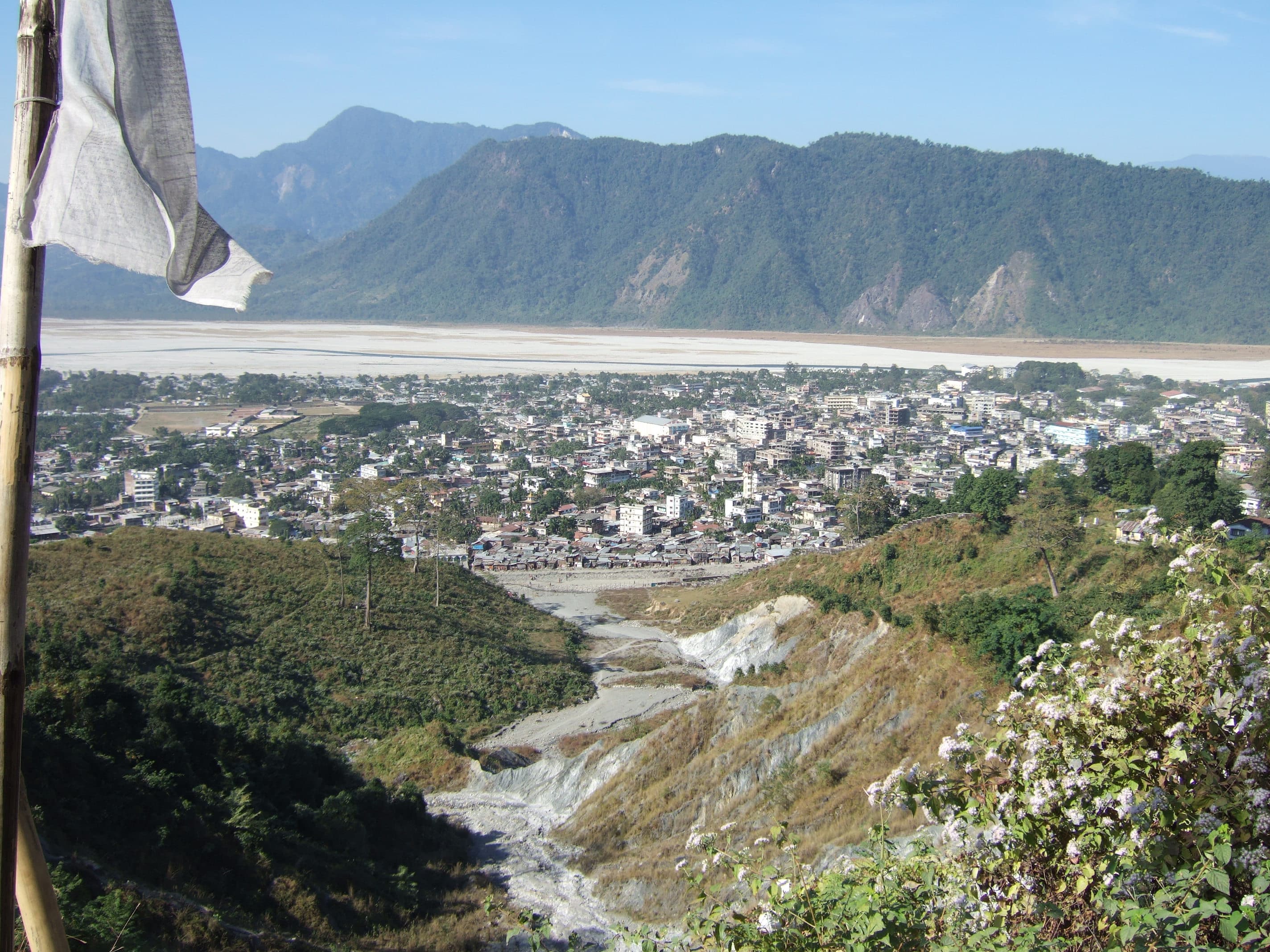
The minister said geotechnical investigations across different parts of Phuentsholing indicate that the area is highly vulnerable to landslides. Studies on the Chamkuna hillside, located next to the Amochhu Local Area Plan (LAP), found that nearly 80% of the area consists of inactive landslides that could become active again with even minor disturbances.
Based on these findings, authorities are planning to strengthen policies and regulations governing hillside development, with the government intending to regulate upstream development activities to reduce landslide and flooding risks while also considering urban buffer zones along vulnerable hillsides, particularly those above the Amochhu area.
Another key priority is the preparation of a comprehensive Sediment Management Plan. The minister said that while the Thromde has been carrying out annual dry-season dredging and sediment removal to manage normal accumulation, the recent landslide has produced an unprecedented volume of debris, requiring a dedicated strategy for large-scale removal, transport, and disposal. The Department of Geology and Mines is currently preparing a special sediment management plan, with implementation expected to begin after the monsoon season.
The government has also identified the need to replace the existing bridge at Open Outfall 1. According to the minister, the current bridge was never designed to withstand the scale of debris and flooding now being experienced. Before constructing a new bridge, authorities plan to undertake a comprehensive catchment assessment to ensure that the new structure allows the natural flow of sediment and debris during future events instead of obstructing it.
Authorities are also encouraging flood-resilient construction for future developments around the Amochhu area. “Considering the long-term risks of flooding and landslides in the Amochhu area, future developments should adopt flood-resilient building designs incorporating stilt floors, with the ground level left unoccupied and not used for habitable or functional purposes. Such an approach would significantly reduce risks to life and property by allowing floodwaters and debris to pass beneath the structures while ensuring the safety of occupants during the monsoon season and extreme flood events,” said the Minister.
The government is also working closely with the National Center for Hydrology and Meteorology (NCHM) to continuously monitor river levels and strengthen early warning systems to better protect downstream communities.
Attention is also being given to high-risk drainage outfalls in the Amochhu and Chamkuna areas. Out of the 13 outfalls identified, Open Outfall 1, Outfall 3 and Outfall 5 have been classified as the most vulnerable.
The hillside around these locations has been included in a comprehensive risk and hazard assessment since 2025 under the Asian Development Bank-supported Technical Assistance Project titled Building Adaptation and Resilience in the Hindu Kush Himalayas – Bhutan and Nepal.
The minister said flood protection works carried out under the Phuentsholing Township Development Project (PTDP) Zone A had already demonstrated their effectiveness during the flooding experienced in October last year.
“Flooding in Amochhu River protection works have been implemented in the downstream reaches under the Phuentsholing Township Development Project (PTDP Zone A), and these measures proved effective during the flooding experienced in October last year,” said the Minister.
However, he acknowledged that the situation was different in PTDP Zone B. “In contrast, the areas falling under PTDP Zone B inadequately protected against flood hazards which has been severely affected by October flooding,” the minister said.
Since the entire Amochhu riverfront falls within PTDP Zones A and B under the jurisdiction of Druk Holding and Investments (DHI), the government plans to integrate comprehensive flood mitigation measures into the township’s future development plan.
The minister said the recent flooding in Phuentsholing was not caused by river water alone but was largely triggered by a massive natural landslide that released large volumes of debris into the Amochhu area. He noted that while climate-induced changes and intensified rainfall have increased landslide risks and surface runoff, development activities have also contributed to localized flooding in some areas.
He added that the Amochhu incident was an unexpected natural landslide with no evidence of human-induced disturbance, and that the exceptionally high sediment load could continue to increase, complicating recovery and cleanup efforts.
The Amochhu River has historically been prone to flooding. However, the minister said the risk has grown significantly because of increasingly intense rainfall in the upstream catchment.
To address the immediate situation, the Department of Geology and Mines has started river diversion through dredging and implemented emergency flood protection measures in the affected areas.
Sherab Dorji, Thimphu